Before integrating CAD data into a GIS, make sure you understand it!
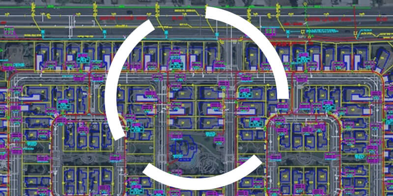
One of the challenges geomaticians face is integrating CAD data into their GIS. To be effective in their work, they need to understand how to read and use CAD data.

One of the challenges geomaticians face is integrating CAD data into their GIS. To be effective in their work, they need to understand how to read and use CAD data.
Updating cadastral data is crucial for local government organizations. Find out how to do it efficiently with FME!

FME has been around for over 25 years, but many geomatics experts still haven’t heard of this software. Read on for five more reasons to add FME to your toolbox.

Find out how FME Server was used in a customized web portal for collecting and processing field data.

Several departments in cities rely on accurate address data to provide residents better services. See how validating address data matters.