
Be it because the pandemic has taken a toll on their budget, the labour shortage is throwing a wrench in their recruitment plans, or demand for geospatial data is on the rise, it is clear that GIS leaders are constantly being asked to do more with less.
There are many possible solutions to these challenges, and ways to boost both the performance of your geomatics team and the efficiency of your organization as a whole. Our experience shows that automating time-consuming tasks and processes can bring you quick returns on a very reasonable investment.
We often hear the same reasons not to improve the way geomatics teams do things, and they end up standing in the way of this vital function playing the strategic role it deserves, especially at a time when the demand for geospatial data is ever-growing.
Let’s take a closer look at these arguments:
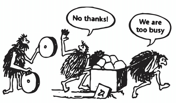
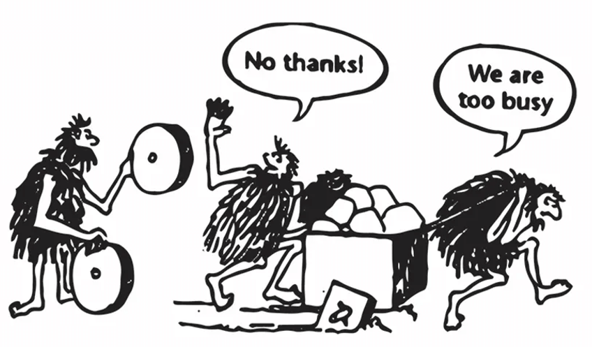
1. We are too busy with our operations.
Automation is an excellent strategy to get the most out of your department’s performance but, unfortunately, many decision makers are mired in day-to-day operations. They don’t have the time to take a step back to look at the big picture, and they often can’t see any clear solutions to improve their efficiency.
The only way to get out of this vicious cycle is to take drastic action and free up some time to examine the situation. No need for an exhaustive analysis at this point—just start with a detailed diagram of the processes that are taking up most of your, and your team’s, time. After a few hours, you will most likely notice redundant, low value-added tasks that are holding your team back from the next level.
2. My budget for the years has run out.
Many organizations base their budget on the budgets from previous years, and depend on their managers’ ability to keep proper documentation. This is even more true when expenses and investments are frozen or reduced.
This is yet another situation that tends to trap GIS managers in a vicious cycle. The way out of this bind is to find the time and be smart about carving a place for yourself in the strategic conversations about budget allocation. For example, using a discretionary budget to complete a simple automation project that yields quick results is a first step toward getting a more generous budget.
3. It can be hard to show the ROI.
The third reason largely overlaps with the first, in terms of never having enough time to find potential avenues for improvement. But even when managers are able to define multiple possibilities for automation, it can be difficult for them to accurately gauge the effort required to pull them off. To a lesser extent, some also have difficulty clearly quantifying the benefits for the organization.
Here, we don’t have any miraculous advice to help you assess the effort that needs to go into creating automations. We know from experience that talking to your peers and associations can be a good starting point. By comparing your situation with someone else’s, you can sometimes arrive at a sophisticated assessment using a good old rule of thumb.
The secret: Down with the status quo
As GIS data processing specialists, we know that, very often, all it takes is a good amount of willpower and a modest professional services budget to create a virtuous cycle, and the results just might surprise you.
A pragmatic, collaborative approach will allow you to draw up a realistic roadmap and prioritize projects by the effort they require and their impact on the organization. You will also be able to define achievable objectives, phase by phase, project by project.
This approach is one possible strategy to break the oppressive inertia of the status quo. Once you do that, one successful project will lead to the next and, gradually, your work will afford you a certain visibility. This will in turn bring you projects to be led with new departments and, ultimately, you will position your GIS team as a strategic asset for a more efficient, more smoothly run organization.
Need some inspiration? Here are few common examples of automation to inspire you:
- Updating ArcGIS Online (AGOL) layers;
- Integrating and processing data from regulatory bodies;
- Publishing open data;
- Integrating data from web services (weather, accidents, etc.);
- Generating daily reports, dashboards, etc.
Consortech has led hundreds of automation projects over the years, and our team of experts is always excited to talk about automation—we truly are passionate about what we do! Our team will share their experience, ask you all the right questions and leverage all of the industry’s best practices to help you fine-tune your analysis.
We hope you are now able to see that there are solutions available for any manager to get successful results. You just have to want to put in some time, and maybe use some of your discretionary budget.