Before integrating CAD data into a GIS, make sure you understand it!
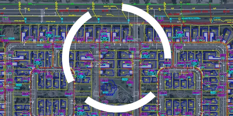
One of the challenges geomaticians face is integrating CAD data into their GIS. To be effective in their work, they need to understand how to read and use CAD data.

One of the challenges geomaticians face is integrating CAD data into their GIS. To be effective in their work, they need to understand how to read and use CAD data.
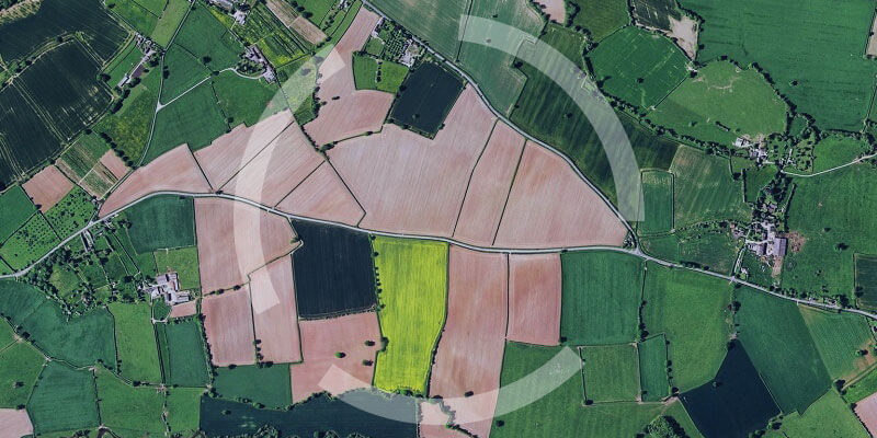
Updating cadastral data is crucial for local government organizations. Find out how to do it efficiently with FME!

Find out how FME Server was used in a customized web portal for collecting and processing field data.
We reviewed the projects our clients have done over the past years to find out where significant organizational gains have been made.
At first glance, data integration and application integration may sound similar, yet they represent distinct challenges for organizations.
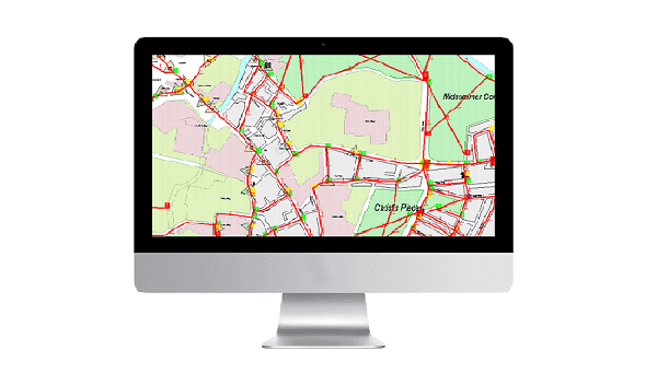
Many organizations face the challenge of integrating CAD data into a Geographical Information System (GIS). Having carried out this type of conversion several times, …