5 things to consider when upgrading FME Server
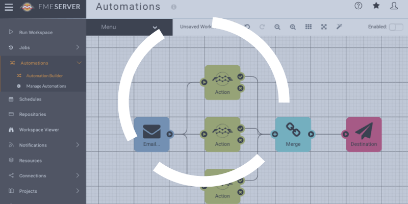
Before migrating FME Server, it is always important to plan ahead and ask yourself some deeper questions. Here are five points to consider.

Before migrating FME Server, it is always important to plan ahead and ask yourself some deeper questions. Here are five points to consider.

Geospatial performance is a way for a GIS department to position itself as a strategic contributor to the organization. Let’s look at the pillars you can leverage to boost it!

We often hear the same reasons not to improve the way geomatics teams do things. Let’s take a closer look at these arguments.

Beyond a typical next-next-next installation, let’s see what are the key elements to take into consideration for a successful implementation of FME Server.
Read on for some examples of the ways FME can be used to boost efficiency in municipal departments and situations that might not have occurred to you yet.